The Geospatial Revolution
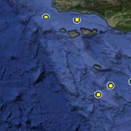
Global positioning systems and other means of gathering, computing, and visualizing data have led to increased documentation, new tools for planning, and more efficient ways to engage with our natural and built systems. In this episode of World Ocean Radio, host Peter Neill will describe these geospatial technologies as they relate and are being applied to marine protected areas, coral reefs, coastal geography, and other natural areas and resources.
___________________________________________________________________________
Peter Neill, host of World Ocean Radio, provides coverage of a broad spectrum of ocean issues from science and education to advocacy and exemplary projects. World Ocean Radio, a project of the World Ocean Observatory, is a weekly series of brief audio essays available for syndicated use at no cost by community radio stations worldwide. Contact us for more information.

- Login to post comments
